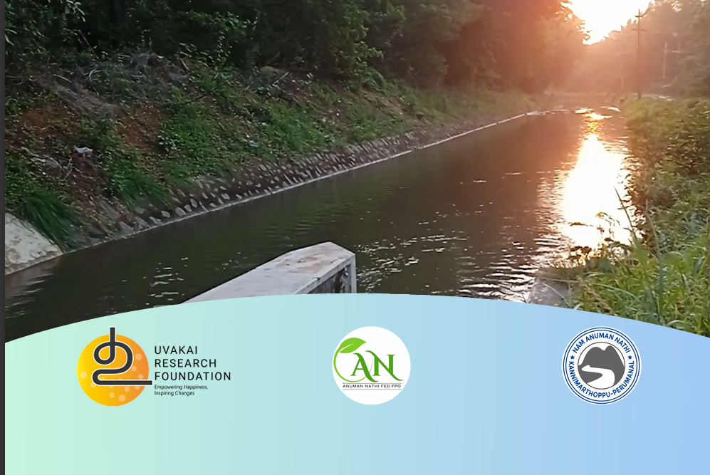
This technical annexure complements the main Pazhayar River report, offering detailed DGPS survey maps, boundary data, and drone imagery overlays. It documents the river’s structural profile across 35 km, providing essential reference material for engineers, planners, and policymakers engaged in river restoration.
This report examines the irrigation challenges of the Hanumanadhi sub-basin in Tirunelveli district. Based on satellite data, field studies, and government audits, it highlights the overexploitation of water resources and proposes restoration strategies for 52 tanks connected to the Radhapuram Channel. It emphasizes sustainable water governance for agricultural resilience.
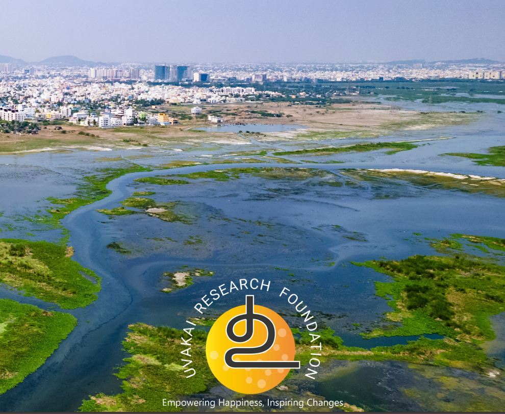
The first volume in the “Chennai Waterscape” series, this report analyzes the Pallikaranai catchment in South Chennai. Through GIS mapping of 452 waterbodies, it identifies causes of urban flooding and water loss due to encroachment. It proposes nature-based solutions for sustainable urban planning and climate resilience.
Exploring the
Situational Dynamics of
the Pazhayar River
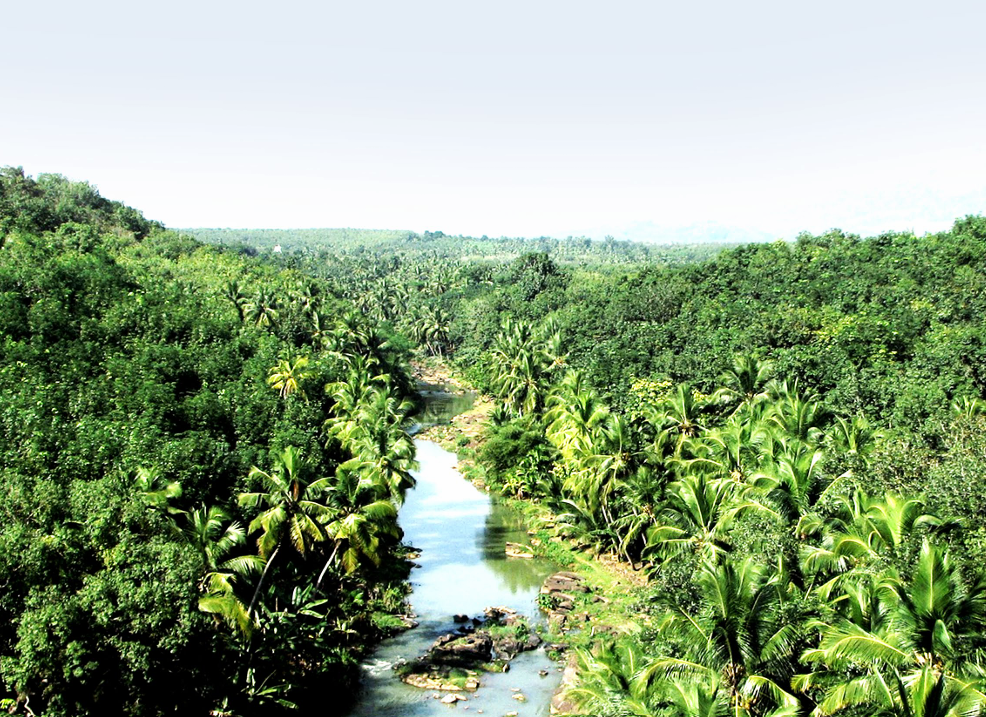
A comprehensive study of the Pazhayar River in Kanniyakumari district, this report analyzes the river’s environmental degradation due to urbanization and encroachment. Using advanced DGPS and drone surveys, it maps the river’s condition and provides actionable insights for its restoration. The report advocates a collaborative, community-led approach to revive this vital water source.
If you’re looking for an opportunity to give back to the community, become a volunteer at Uvakai Research Foundation. We are always seeking dedicated people for our projects and initiatives. For more details and how to become a volunteer, visit our website or contact us by clicking below