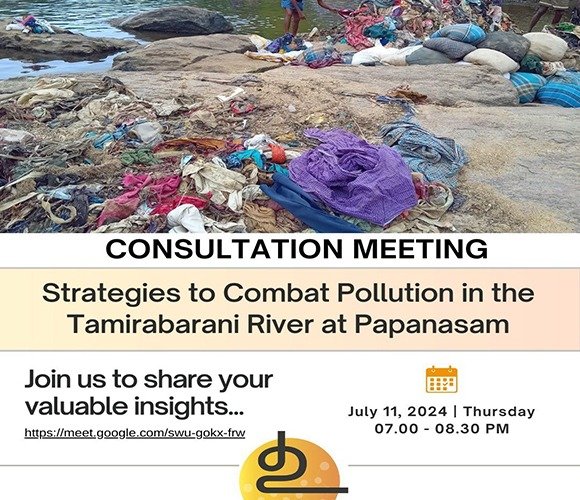
பாபநாசத்தில் தாமிரபரணி நதி மாசுபடுவதை தடுக்க நிரந்தர தீர்வு என்ன?

பாபநாசத்தில் தாமிரபரணி நதி மாசுபடுவதை தடுக்க நிரந்தர தீர்வு என்ன? தாமிரபரணி துவங்கும் இடமான பாபநாசத்தில் நேரடியாக சாக்கடை கலப்பது, துணிகளை ஆற்றில் விடுவது போன்ற செயல்களால் ஆறு மிகுந்த மாசடைந்து இருக்கிறது. இதற்கு நிரந்தர தீர்வு காணும் நோக்கத்தில் உவகை ஆராய்ச்சி மையம் வல்லுநர்களுடன் ஒரு இணைய வழிக் கலந்தாய்வு கூட்டத்தை வருகின்ற 11.07.2024, வியாழக் கிழமை, 2024 நடத்தவிருக்கிறது.வல்லுநர்கள் கலந்து கொண்டு தங்கள் மேலான கருத்துக்களை வழங்குமாறு அன்புடன் அழைக்கிறோம்.
Strategies to combat pollution in the Tamirabarani River at papanasam

Strategies to combat pollution in the Tamirabarani River at papanasam Pollution in the Tamirabarani River at Papanasam, caused by direct sewage entry, disposal of clothes, and solid waste, is causing a significant environmental impact. Uvakai Research Foundation proposes a consultation meeting with stakeholders to develop sustainable solutions to this problem. We request experts to join […]

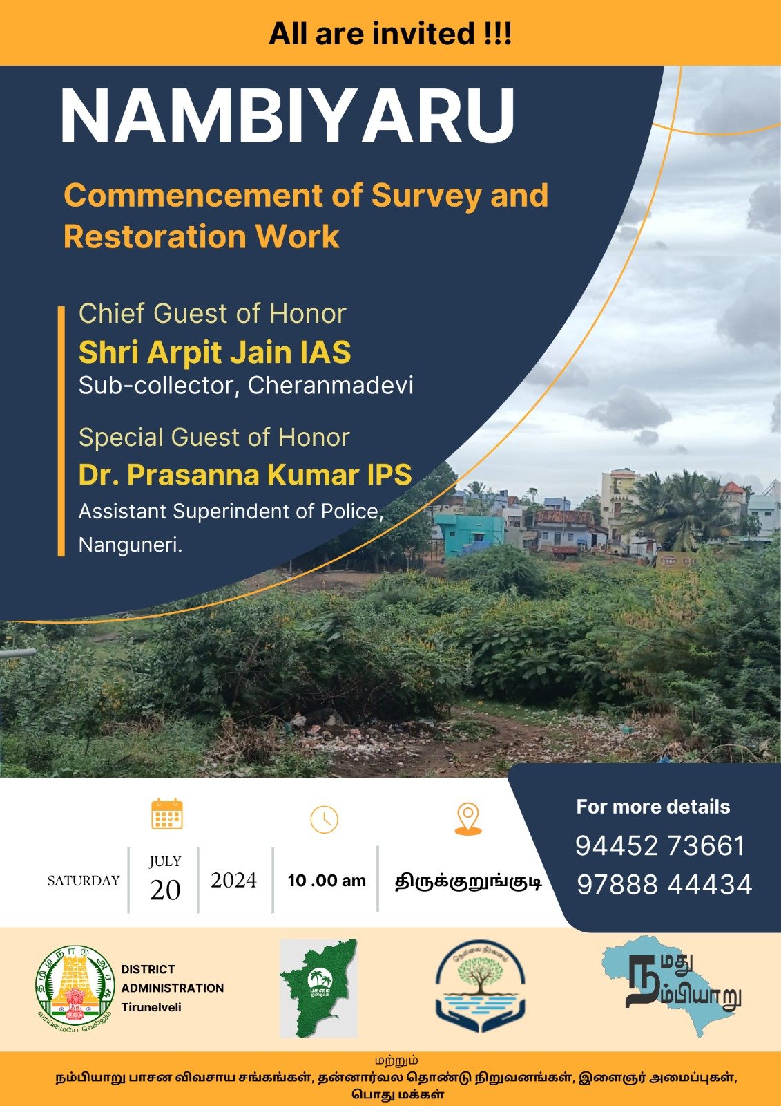
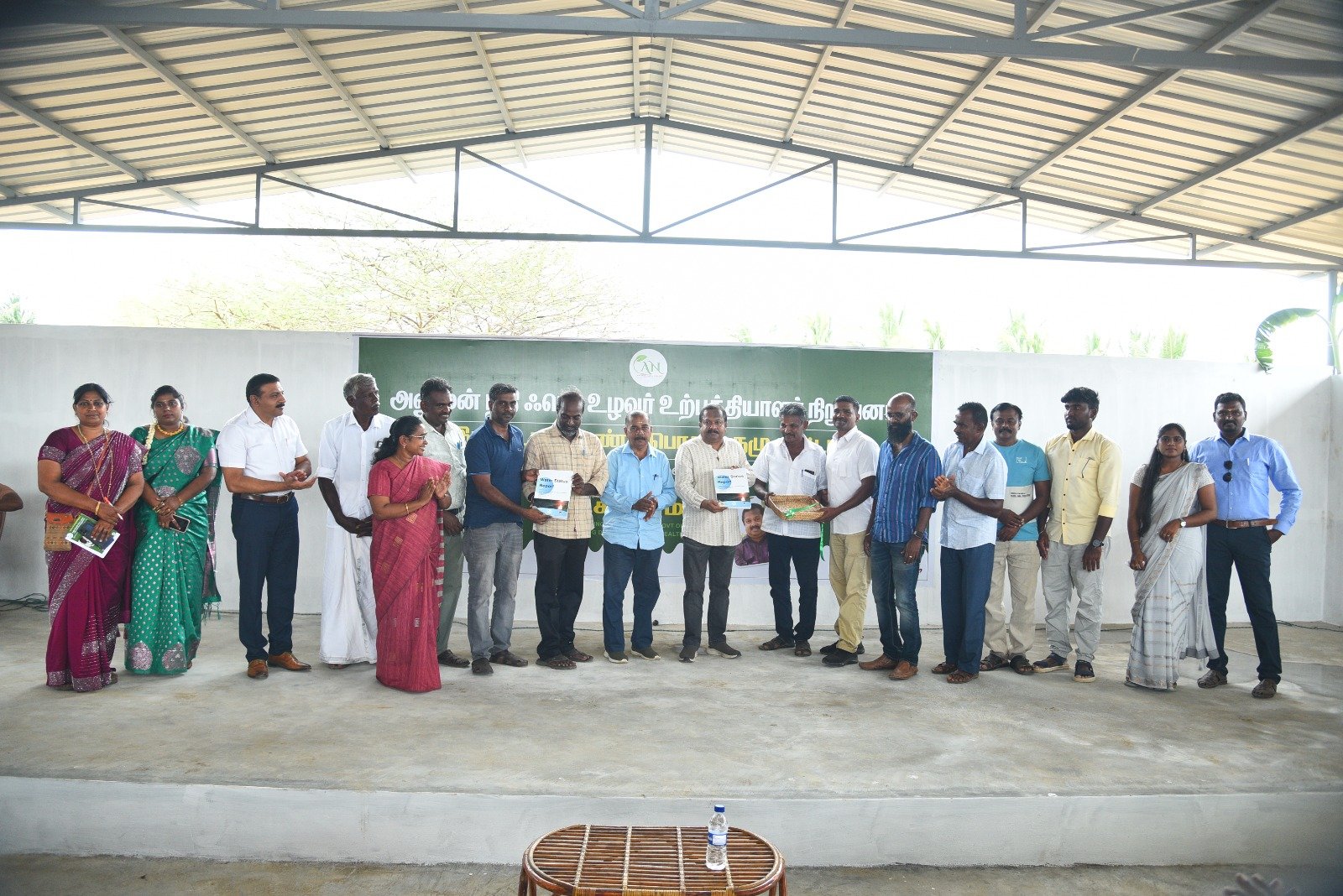
planning meeting for #nambiyaru River Restoration

Community resource mapping and planning meeting for #nambiyaru River Restoration An orientation, resource mapping, and resource mobilization meeting was conducted at Gurunathan Key stakeholders, including farmers’ associations, Rotary, Lions Club, traders’ associations, NGOs, and community representatives, attended the meeting and expressed their willingness to support the initiative during the implementation process. The Rotary Club agreed […]

Watershed Analysis using Satellite Imagery

short course on Watershed Analysis using Satellite Imagery This course will cover boundary identification, stream and water body identification, open source satellite imagery, and basin map analysis. Enhance your skills and knowledge applicable to fields like environmental science, geography, and urban planning.

Nam Anuman Nathi Society and Anuman Nathi FED Farmer Producer Company

Uvakai Research Foundation in collaboration with Nam Anuman Nathi Society and Anuman Nathi FED Farmer Producer Company, conducted a study to assess water levels in 52 Radhapuram-associated tanks over the past 12 years using Bhuvan Satellite data. The findings revealed that more than 80% of the time, most tanks remained dry, even during years of […]

Data to Maps: GIS Techniques for Social and Health Science Researchers

Join this online workshop by Uvakai Research Foundation and Evidentia Research Solutions to master GIS skills for creating choropleth and graduated maps, empowering social and health researchers to visualize and analyze spatial data effectively. Register here:👇🏻 https://forms.gle/a7VQqXH4kTXEQJeq7

𝘼 𝙒𝙖𝙡𝙠 𝘼𝙡𝙤𝙣𝙜 𝙩𝙝𝙚 𝘽𝙪𝙘𝙠𝙞𝙣𝙜𝙝𝙖𝙢 𝘾𝙖𝙣𝙖𝙡: 𝙏𝙞𝙢𝙚 𝙩𝙤 𝘼𝙘𝙩, 𝙉𝙤𝙩 𝙄𝙜𝙣𝙤𝙧𝙚

Uvakai Research Foundation recently conducted a transect walk along the Buckingham Canal within the Kovalam basin and its three Chennai catchments. The purpose was to observe, understand, and explore possible solutions to prevent flooding in the Kovalam basin, which heavily relies on the canal for drainage. 𝑻𝒉𝒊𝒔 𝒘𝒂𝒍𝒌 𝒑𝒐𝒔𝒆𝒅 𝒂𝒏 𝒊𝒎𝒑𝒐𝒓𝒕𝒂𝒏𝒕 𝒒𝒖𝒆𝒔𝒕𝒊𝒐𝒏: 𝑺𝒉𝒐𝒖𝒍𝒅 𝒘𝒆 𝒇𝒆𝒂𝒓 […]